Making our way up Sardinia´s West Coast
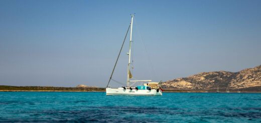
Before leaving the Sulcis Archipelago entirely, we had to pop into Carloforte, the capital of the adjoining island of San Pietro, even if it was going to be a whistle stop tour. We found a kind marinello who said we could moor up to his pontoon for a couple of hours without charge (in Italy, in August, Wow is all we could say), and even offered us water and electricity….whilst we did some shopping and had a wander around.
Carloforte


It was charming, and if we had had our time again, we would have stopped here for the night instead of Sant Antioco and Calasetta, but it was time to move on, and back to Sardinia proper.
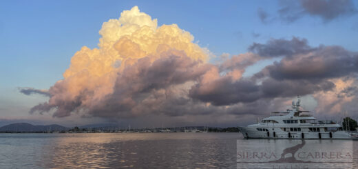
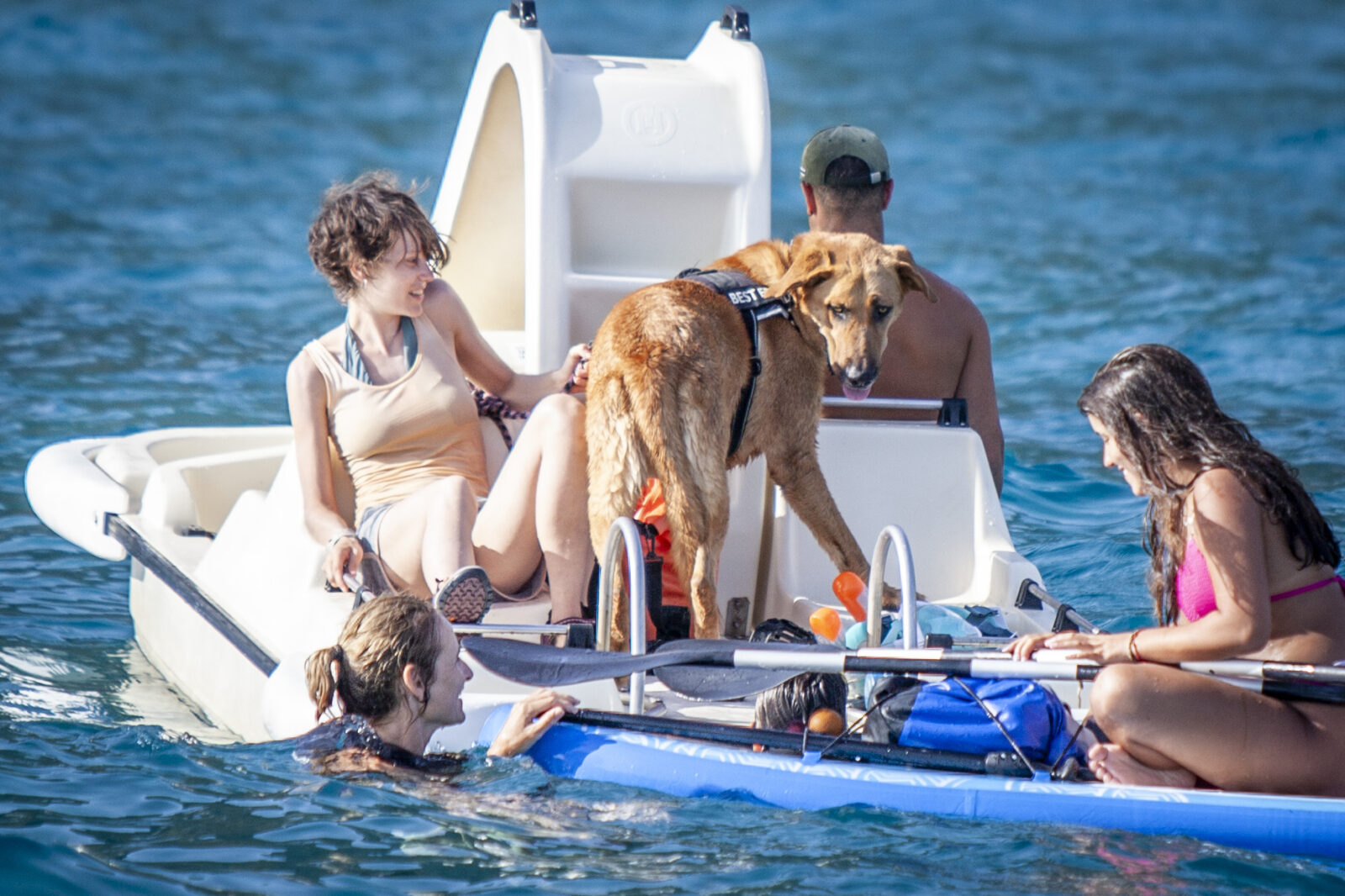
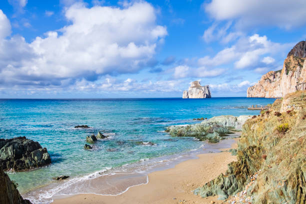
We were planning on stopping at what was said to be the stunning beach of Masua Pan di Zucchero, otherwise known as Porto Cauli. Often mentioned among the best beaches in Sardinia, this small cove takes its name from the Pan di Zucchero massive stack that emerges from the water right in front of it, that we had hoped to paddle board around the next morning. We knew from the weather conditions that it was likely to be quite “bouncy” during the afternoon but that it should settle by the evening. So we had a great sail there, dropped our pick, (we weren’t the only ones mad enough to do this), and tried as we might to wait out the uncomfortableness of it, but 45 minutes later, with all our bones and everything inside the boat rattling well like a rattle in the hands of an over exuberant baby, we gave up, although not before we got a few pics, including one of a Daisy Dog on a paddleboat!
Masua Beach


This is what the bay would have looked like in calm conditions!
We then motored up the coast for a couple more miles and took shelter in another wonderful little bay called Cala Domestica, managing to sneak in right at the head of the bay, where we had a surprisingly peaceful night, and a great paddle board around the amazing rock formations, caves, nooks and crannies in the morning.
Cala Domestica


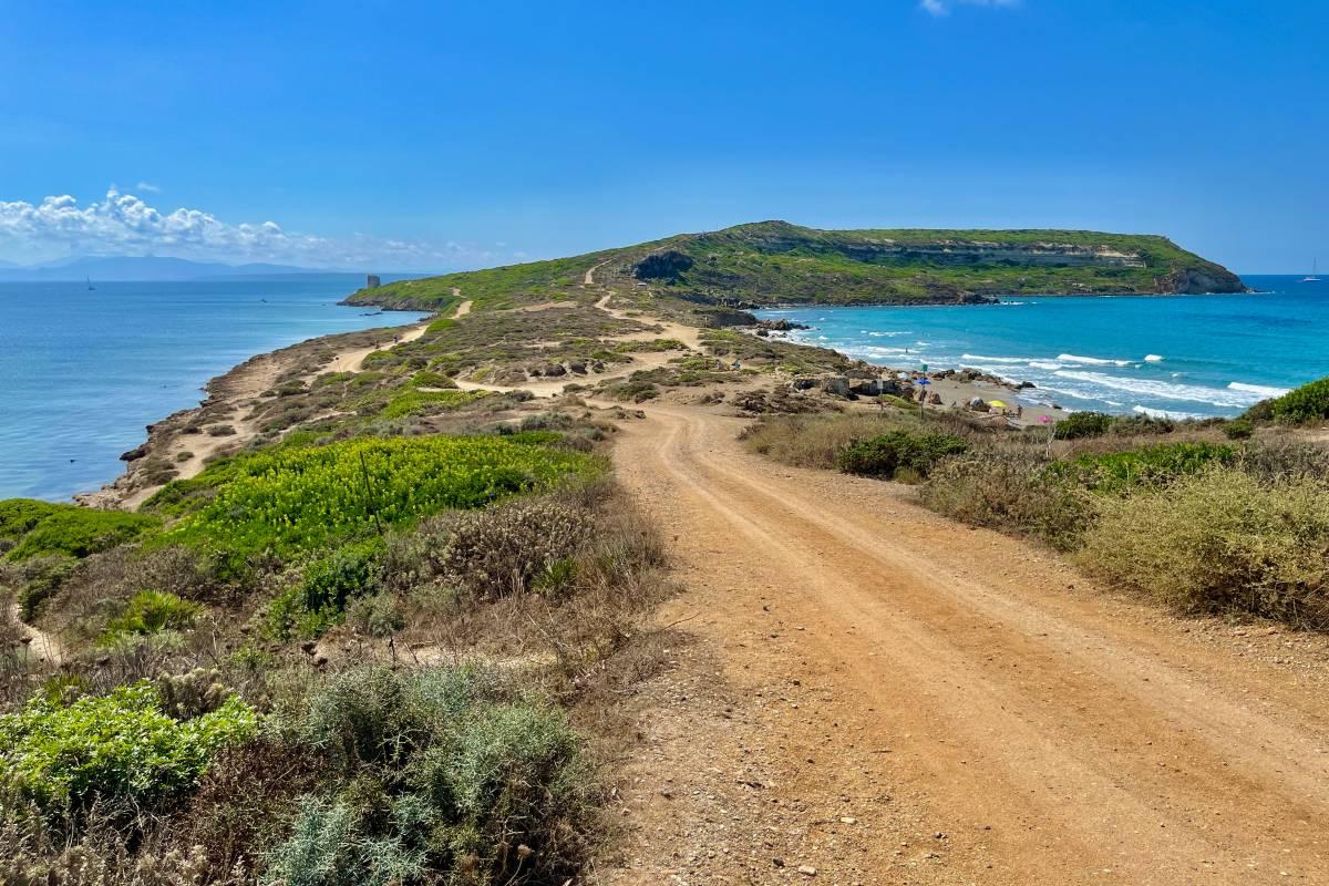
After a wonderful chilled morning we set sail again, northwards to a place called Capo San Marco, which is a rocky cape that forms the southernmost point of the Sinis Peninsula. This thin strip of land bordered on both sides by the sea and small wild beaches has a special shape, and seems like a snake trying to make its way through the sea. At the very end, stands the lighthouse built in 1924. It is also the home to the archaeological site of Tharros. Sadly, despite it being geared up for yachts with a buoy field you had to use, as anchoring was prohibited, there didn’t seem to be a landing point for the dinghy, so we didn’t put our feet on dry land to go and explore. We are sure there must be somewhere and hopefully next year we will be back with more time to do just that, perhaps take a ride in the noddy train that poodled along the Cape, we kid you not! For now, we’ll have to make do with pics from the water, and the internet!
Capo San Marco


At this point we need to tell you about the mysterious stone towers that pepper the Sardinia landscape and you may have noticed feature in quite a few of our photos. They are called Nuraghi (the plural of nuraghe), built between 1600 and 1200BC, these mysterious Bronze Age bastions were constructed by carefully placing huge, roughly worked stones, weighing several tons each, on top of each other in a truncated formation.
Today, more than 7,000 nuraghi are still visible from the flat basin of Sardinia’s southern Campidano plain to the rugged hilltops and granite boulder-strewn valleys of its northern Gallura region, standing guard over ancient trade routes, river crossings and sacred sites. The instantly recognisable beehive-shaped buildings are not found anywhere else in the world, and so have come to symbolise Sardinia. However, it’s still not clear how or why Bronze Age Sardinians of this Nuragic civilisation constructed these imposing towers. Theories about their use range from fortifications and dwellings to food stores, places of worship or even astronomical observatories. The likelihood is that they served several of these purposes during the course of their history, as the towers remained central to Nuragic life for centuries.
End of history lesson, we set sail again on the 19th August for 27NM’s in a gentle westerly Force 3, to visit somewhere we had been recommended to go to, the town of Bosa, half way up the West Coast, and our final stop before reaching Alghero.
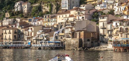
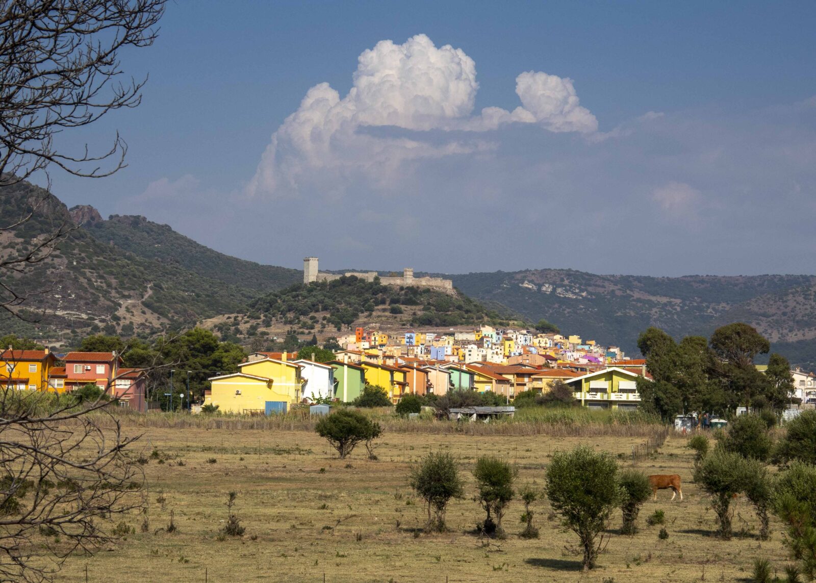
Bosa is a colourful town on a small hill, about 3 kilometres (2 miles) inland on the north bank of the Temo River. We were lucky enough to grab one of the 2 available free spots on the Customs quay at the entrance, and probably could have taken the dinghy up the river, but given how reliable the outboard has been lately, not, walking seemed the easier option than potentially rowing!
The Town was well worth the visit, not sure about the Fort for which we climbed what seemed to be hundreds of steps to get up too, although the views from there were spectacular, but the town itself was full of narrow streets, colourfully painted houses, and vibrant life. A few drinks and a pizza later, we didn’t really notice that 40 minute walk back to Seaclusion.
We will let the pics do the talking, for a change…😉
Bosa
The Town


The Fort


The Views


The River Bank as the sun started to go down.


Next Stop, Alghero but that is for another day and another blog!
19th August 2023